Track radios, vehicles, and field assets on one map across LMR, broadband/LTE, and SATCOM. CompassCom® adapts to whatever network your operation runs on, from DoD and public safety to municipalities, DOT, and energy.
CompassCom gives you unified, real-time visibility of radios, vehicles, and field personnel across LMR, broadband/LTE, and SATCOM, all on one map. Whatever network your teams run on, you see everything in one place and respond faster.
One Platform. Connected Workforce. Secure Networks
Trusted Across DoD, Government, and Public Sector Leaders
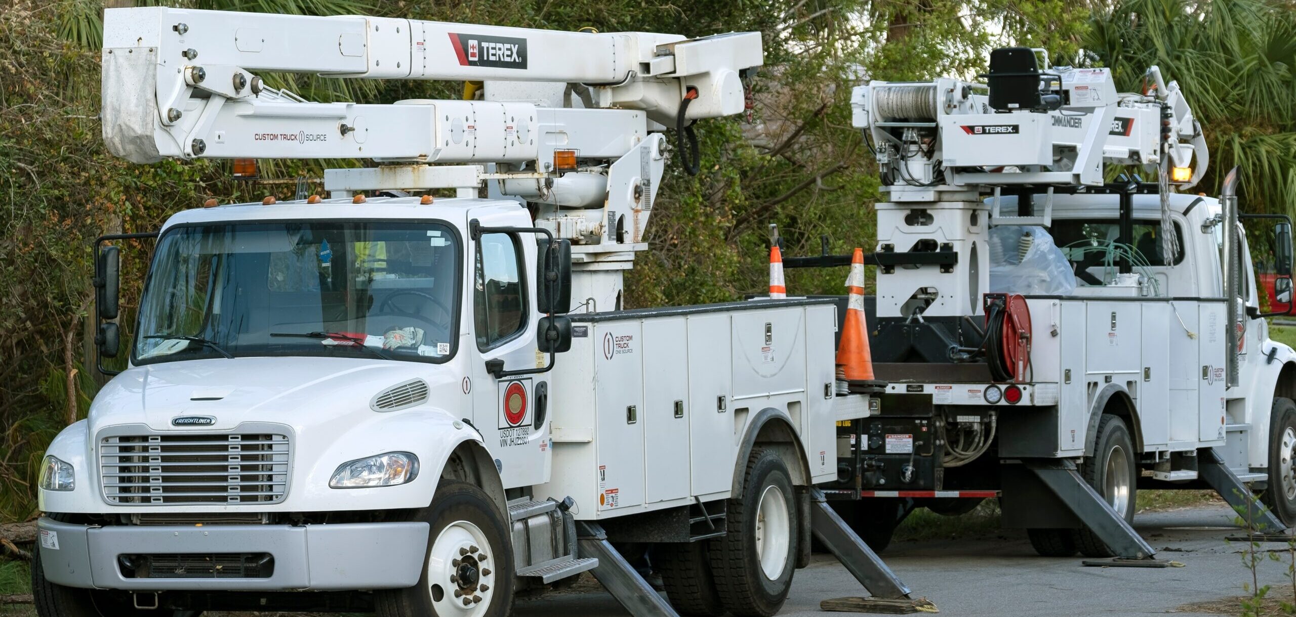
Monitor, locate, and recover high-value assets in real time, reducing downtime and eliminating costly replacements.
Click Here
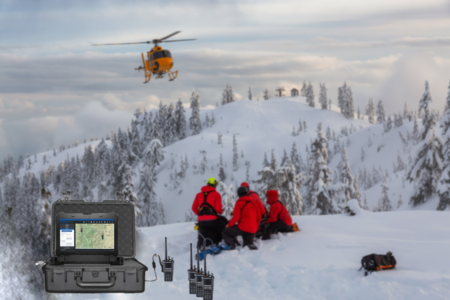
One Map for Fleets, Assets & Personnel
Get real-time situational awareness of every fleet, asset, and team member in a single platform, so you make faster, safer decisions in the field.
Click Here
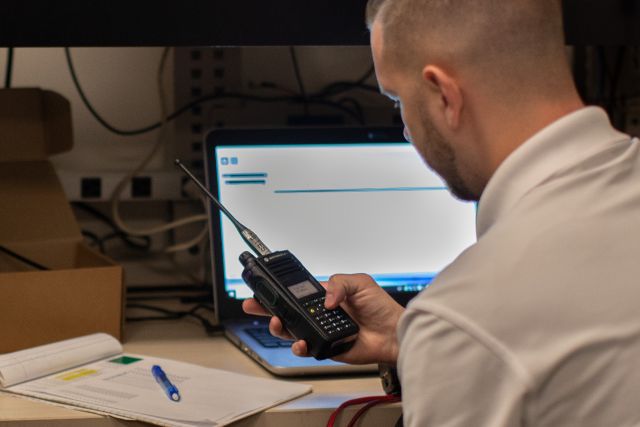
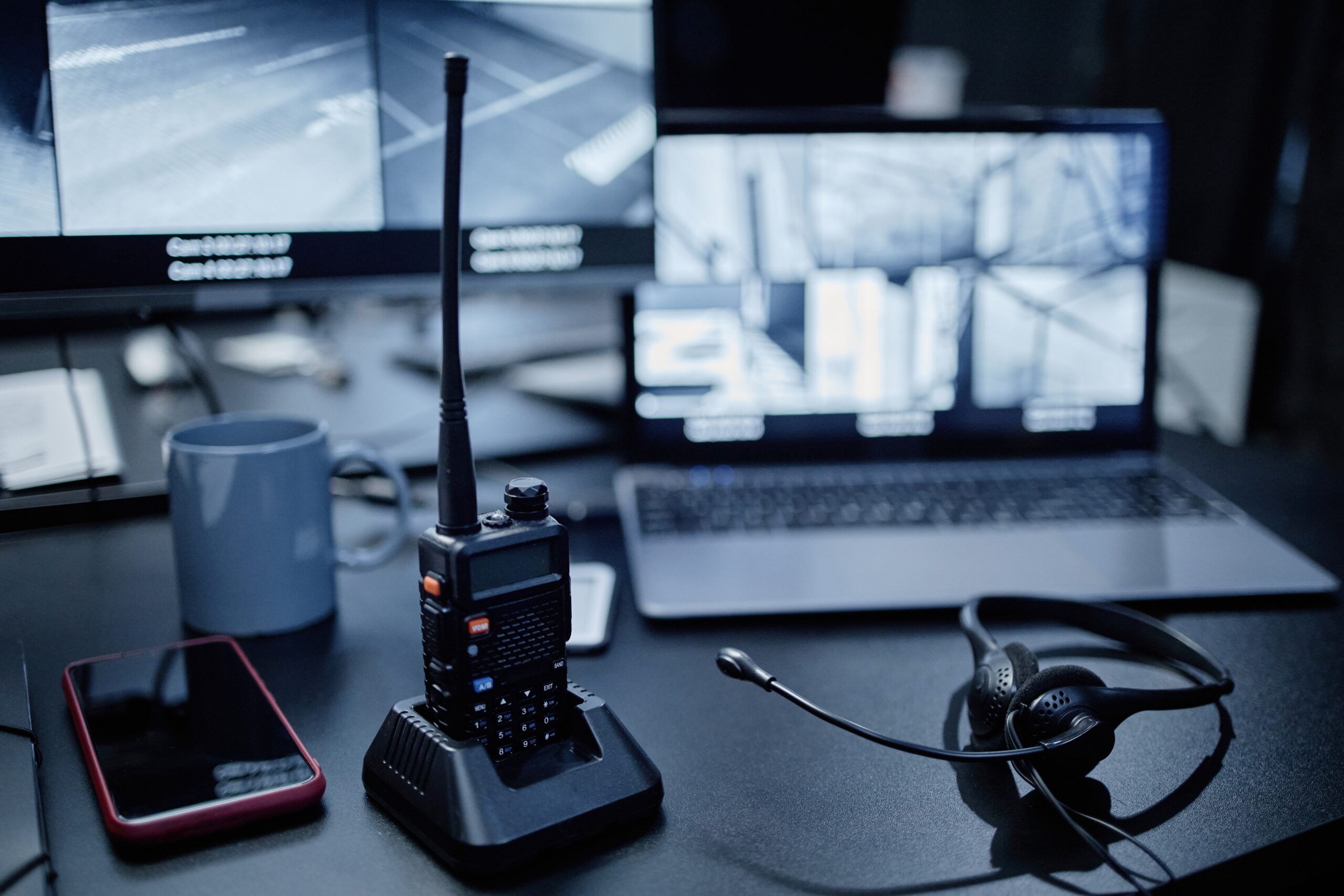
Works With the Hardware You Already Own
Land Mobile Radio (Motorola Solutions®, BK Technologies®), Broadband (Cradlepoint, Sierra Wireless, CalAmp®), and SATCOM (Garmin®, Inmarsat®), one platform across mixed fleets.
Click Here
Deploy On-Prem or in Secure Cloud
Run it behind your firewall on-premise, or as a CJIS-compliant, Azure-hosted SaaS, CompassCom adapts to your IT and security requirements without compromising control.
Click Here
Connect With Your Existing Environment
Integrates with TAK Server™, Computer-Aided Dispatch (CAD), Esri® ArcGIS®, and Trimble®, so your location intelligence and telemetry data work across the tools and teams you already depend on.
Click Here
Case Studies & Posts
See how DOTs, municipalities, federal agencies, and public safety teams use CompassCom's Esri®-based AVL to improve safety, efficiency, and accountability.
News
The latest updates, insights, and announcements from across all CompassCom industries and products.
Events
See where CompassCom will be next. Click through to our upcoming industry conferences and webinars.